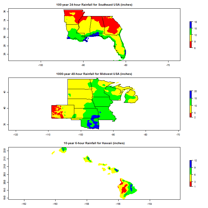
Rainfall estimates at desired frequency (e.g., 1% annual chance or 100-year return period) and duration (e.g., 24-hour) are often required in the design of dams and other hydraulic structures, catastrophe risk modeling, environmental planning and management. One major source of such estimates for the USA is the NOAA National Weather Service. Raw data is available at 1-km resolution and comes as a huge number of GIS files.
The new R package rainfreq provides functionality to easily access and analyze the 1-km GIS files provided by NWS' PF Data Server for the entire USA. This package also comes with datasets on record point rainfall measurements provided by NWS.
Here is the rainfreq package home page on CRAN. Here are some graphics from the package vignette.

No comments:
Post a Comment